
Offline and Mobile Usage
Option #1: Geospatial PDF Export and Avenza Viewer
One option for viewing offline is to export the map as a Geospatial PDF using CalTopo. You can then use Avenza to navigate on top of this map in the field. This is a good option if you have a specific area in mind.
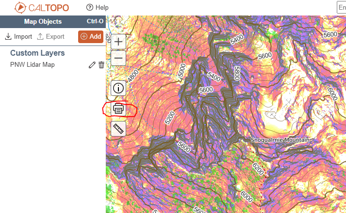
Use the "View in CalTopo" button to open the PNW Lidar map under CalTopo, then click the print icon.
Generate the map as a Geospatial PDF and transfer it to your device.
Install the Avenza App.
![]()
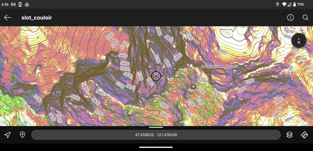
In the Avenza app, import the PDF file you created earlier. Once you have that file loaded, you're ready to go!
Option #2: Download Map Tiles with Backcountry Navigator
These maps can be used with any application that supports Tile Map Service. One powerful option for Android is Backcountry Navigator.
Tile Server
To load this map, use the following address:
Setting Up Backcountry Navigator
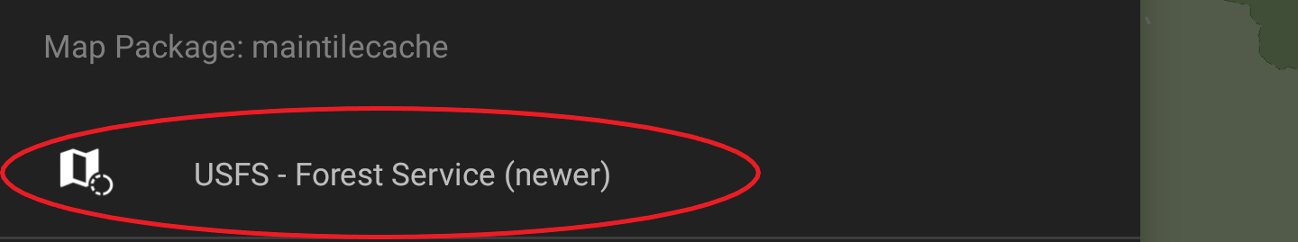
In the left-hand app menu, select the map source to change it.
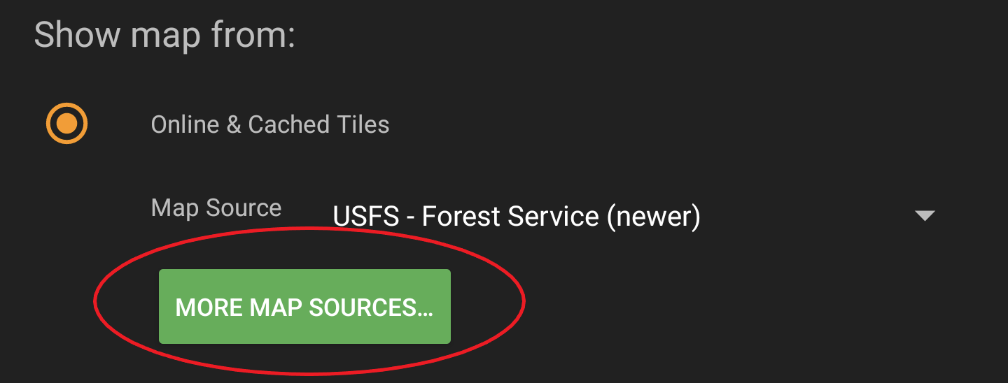
Tap "More Map Sources"
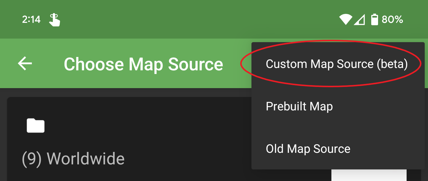
Expand the top-right menu and select "Custom Map Source"
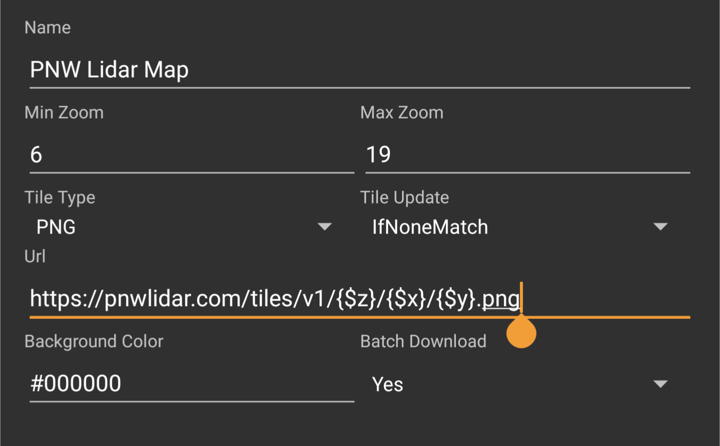
At the bottom, tap "New Custom Map Source"

Enter the Tile Server information from the table above.
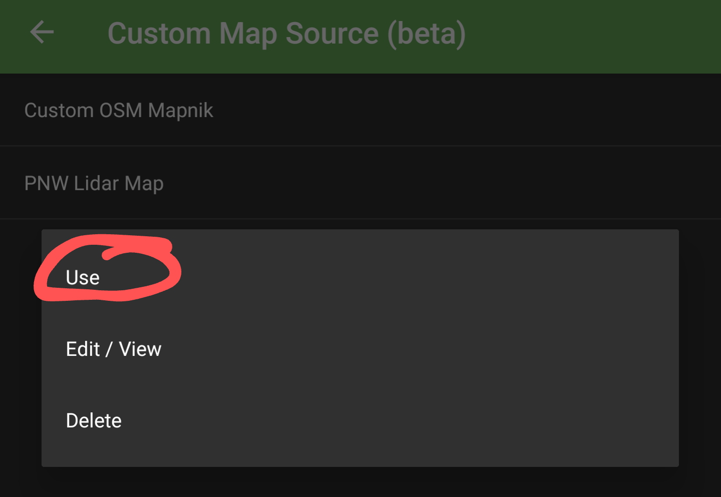
And finally, tap on the newly created map source and select "Use".
Note that this map has no basemap. If you aren't zoomed in to the correct area you won't see any map tiles.
After adding the custom map source, you can either cache or download the desired area as you would do with any other map.